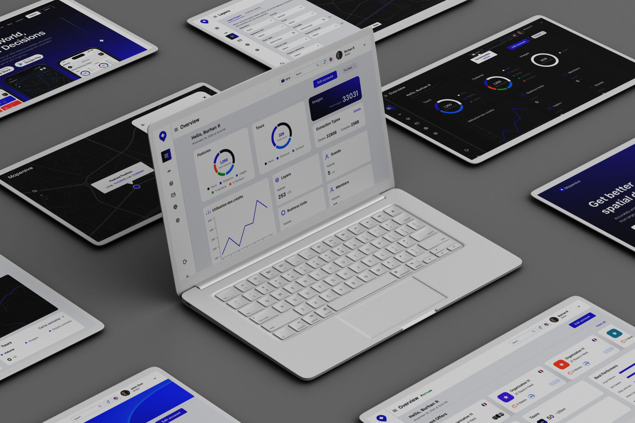
Mapersive simplifies geospatial data extraction with an intuitive platform design, enhancing efficiency and user experience across desktop and mobile. As Product Designer, I focused on creating seamless workflows for all user roles, from admins to extractors.
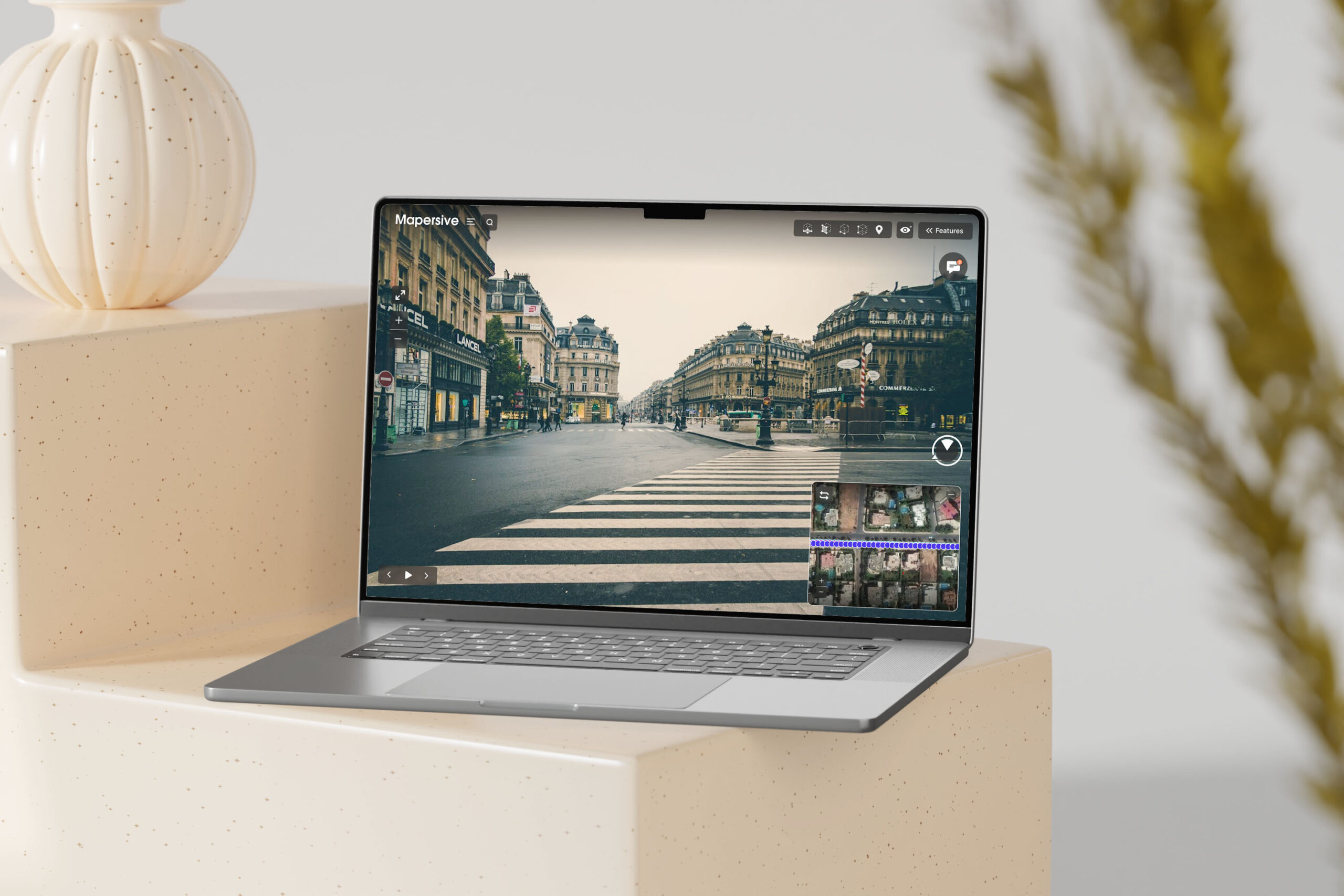
Mapersive’s required a highly intuitive interface to manage and process large volumes of street images.
The goal was to streamline the complexity of geospatial data extraction while ensuring an engaging and efficient user experience.
My Approach
I tackled the challenge by combining user-centered design principles with best practices in product design, focusing on clarity, efficiency, and scalability.
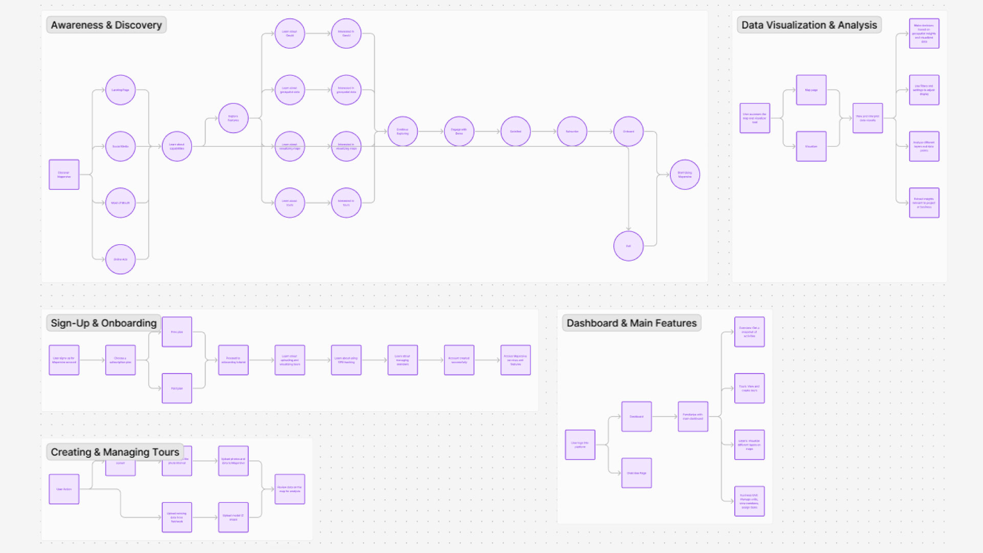
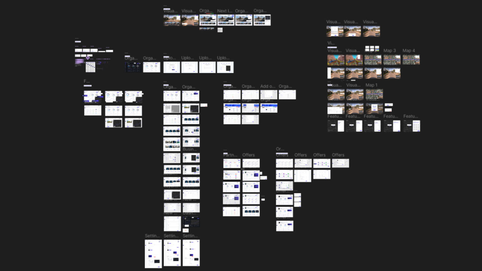
User Journey Design
The platform’s design accounts for multilevel user access to ensure seamless navigation for all stakeholders:
Organization View: Includes roles for Super Admin, Admin, and Extractors to manage, assign, and execute tasks.
Partner View: Offers a collaborative interface for external partners.
Account Admin View: Focuses on account management, ensuring secure and efficient workflows.
This hierarchy ensured role-specific functionality without overwhelming users, enhancing both usability and security.
Steps I Took
Research and Discovery
Conducted user interviews to identify pain points and expectations.
Analyzed competitive platforms to benchmark best practices.
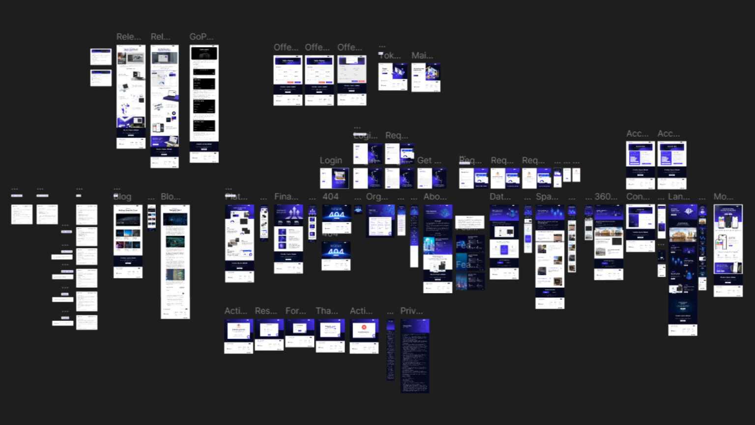
Wireframing and Prototyping
Created wireframes to test ideas quickly and collaboratively with stakeholders.
Built interactive prototypes to validate usability before finalizing designs.
Design Implementation
Developed a clean, intuitive interface that guides users through the extraction process with minimal friction.
Integrated visual cues and tooltips to assist users in navigating complex features.
Testing and Iteration
Conducted usability tests to identify areas for improvement.
Refined the design based on user feedback to enhance functionality and engagement.
Key Design Principles
User-Centered Thinking: Focused on the specific needs of professionals working with geospatial data.
Clarity Through Simplicity: Simplified complex workflows to make the platform accessible for users of varying expertise levels.
Scalable and Efficient Design: Ensured the interface could handle growing data volumes without sacrificing performance or usability.
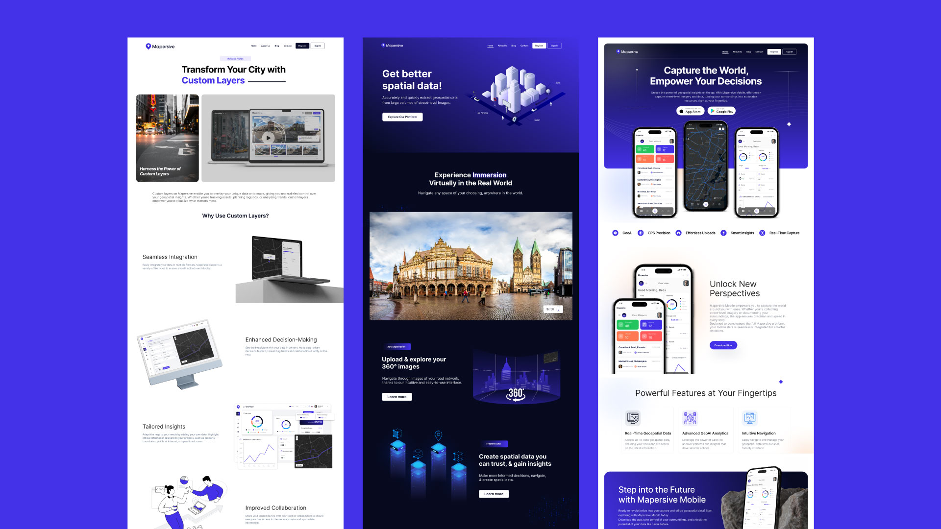
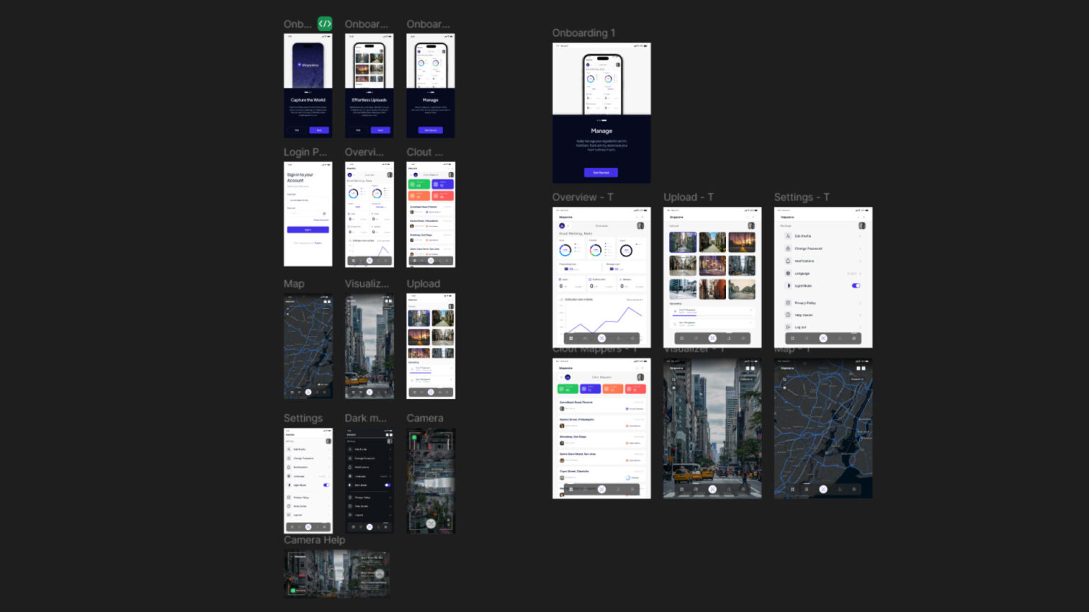
Expanding to Mobile
To ensure accessibility and functionality on the go, I spearheaded the design for Mapersive’s mobile app, focusing on core features like:
Visualizing maps and geospatial data.
Navigating tours and locations.
Capturing and uploading geospatial data directly from mobile devices.
Key Features and Outcomes
User-Friendly Interface: Simplified workflows reduced the learning curve for new users.
Optimized Efficiency: Streamlined the data extraction process, enabling quicker and more accurate results.
Enhanced User Engagement: Positive feedback from users highlighted improved satisfaction and productivity.